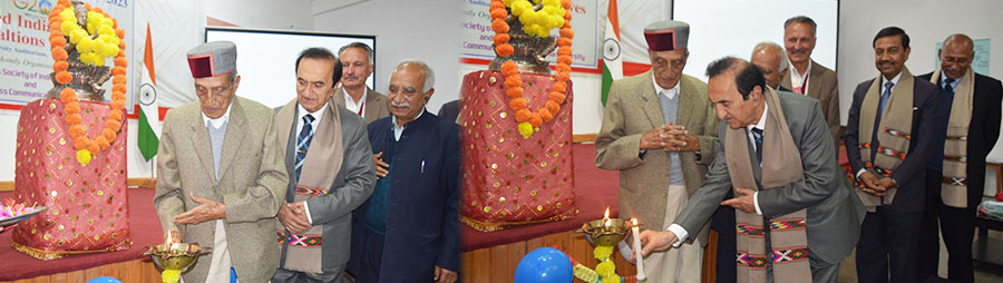
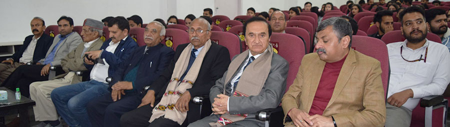
Public Relations
Society of India (PRSI)
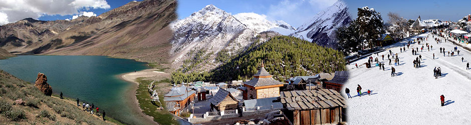
About Himachal Pradesh
 |
-
The Skanda Puran says,’’ He who thinks of Himachal though he may not behold it is greater than he who performs worships in Kashi and he shall have pardon for all his sins. Those beings, who while dying think of its snows are freed from their sins. In a hundred ages of gods I could not tell thee of the glories of Himachal where Shiva lived and the Ganges fell from the foot of Vishnu like the slender thread of a lotus flower. As the dew is dried up by the rays of morning Sun, so are the sins of mankind by the sight of Himachal.
-
Himachal literally means land of snowy mountains. The very name Himachal is a conglomeration of Hima+Achala. The word ‘Hima’ stands for snow, purity and whiteness. Snow is pure, untamed and extremely cool endowing it with the quality of perfect peace (Prasanthi) and the word ‘Achala’ stands for something steady, steadfast, faithful, unshakeable and mountain like. Himachal Pradesh is a small world in itself accessible through the plains Punjab. Himachal Pradesh is bound between 38 22’’ to 33 12” North latitude and 75 47” to 79 4’’ East longitude with Tibet to the east, J & K to the north, Uttrakhand to the south east, Haryana to the south and Punjab to the west. The entire territory is mountainous within altitude varying from 350 to 4500 meters above the mean sea level. It is a full- fledged state of Indian Union with the total area of the state being 55,673 sq. km.
-
Topographically, the territory of Himachal Pradesh can be divided into Shiwalik hills also known as the lower hills making up Kangra, Hamirpur, Una, Bilaspur and lower parts of Mandi, Solan and Sirmaur. The annual rainfall in this zone varies from 1500mm to 1800mm. In ancient times Shiwalik Hills were known as Manak Parbat. Shiwalik literally means "tresses of Shiva". The altitude of this zone 350 meters to 4500 meters above sea level, making it suitable for the cultivation of maize, wheat, ginger, sugarcane, paddy, table potatoes and citrus fruits. The Inner Himalayas or the Mid Mountain ranges vary from 1500 meters to 4500 meters. The lesser Himalayas are marked by a gradual elevation towards the Dhauladhar and Pir Panjal ranges. To the south of Shimla is the peak of Churdhar which is 3647 meters. The variety of soil found in this area ranges from silty loam to clayey loam of dark brown color which is suitable for the cultivation of soft and stone fruits. Pir Panjal in Chamba district forms a longitudinal mountainous tract stretching from north west to south east direction between Ravi basin in the South and Chandra valley in the North. Dhauladhar, the white peak is intercepted by the Satluj in Rampur-Bushahar’, by Ravi in South-west of Chamba and by Beas at Larji. The Greater Himalayas with altitude that varies from 4500 meters and above mean sea level. To the north of pir panjal, dhauladhar peaks are more lofty mountain ranges, known as the Zaskar ranges. Climate is temperate in summers and semi-arctic in winters. This climate is suitable for the cultivation of dry fruits. This Zaskar range separates Spiti and Kinnaur from Tibet.
Courtesy :
Samriti Sharma
================================================================================================
|
|